
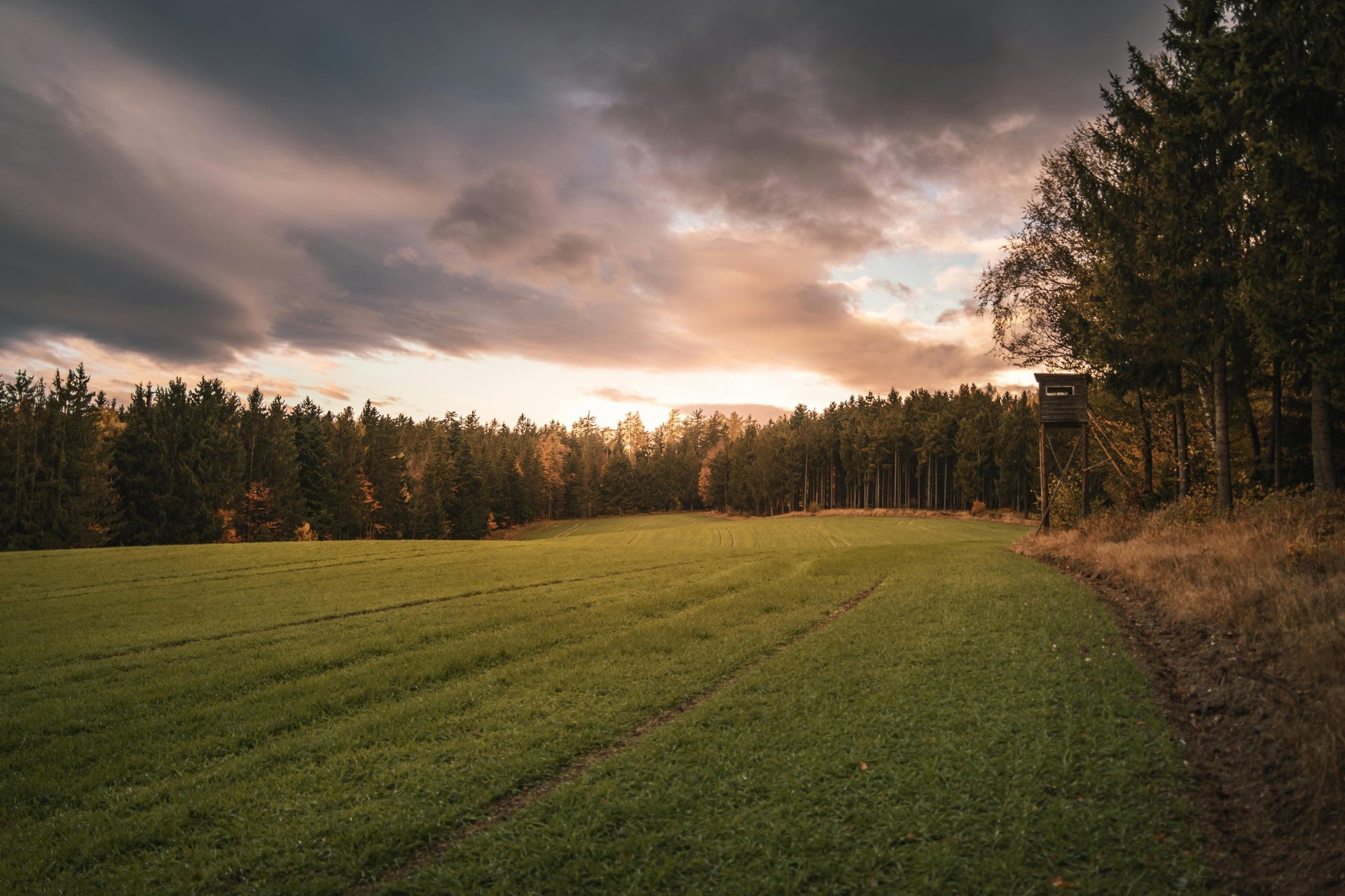
Hunting Season 2026
Flyest Farm has a Drone for your Hunting Season Needs
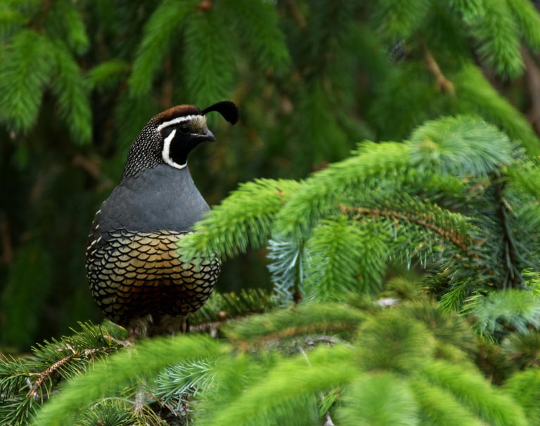
The South (Georgia, Alabama, Northern Florida) has some of the best Deer, Quail, and Duck hunting lands in the Country. People from all over the World come to this region to not only hunt on lands that they own, but lands that they rent or visit. But before you spend hours in that Deer Stand or traipse across miles of heavy pine forest, you've got to prepare your hunting grounds. Flyest Farm is just the company to get you ready.
We utilize our Drones for Mapping, Spraying, and Seeding. We also use them for site planning, advertising (photos) and Deer Recovery. We use them to help clean waterways and to help stock fish. There isn't much Flyest Farm can't do with our Drones.
Mapping, Spraying, & Seeding
To have the perfect hunting grounds you must prepare. Invasive trees, lack of feeding grounds, and an overall unorganized environment can make the difference between a successful season and a terrible waste of time.
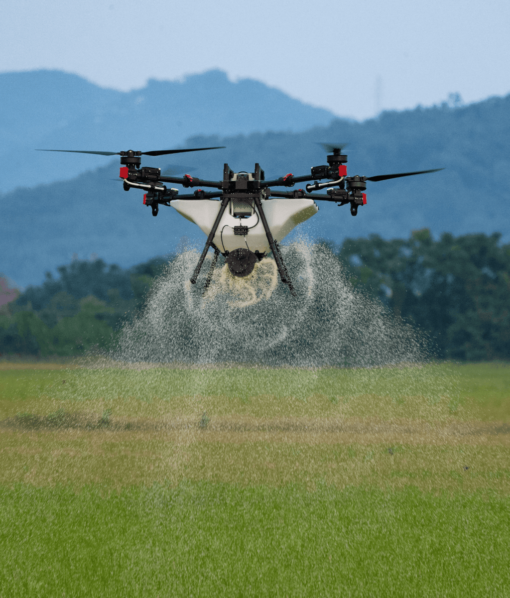
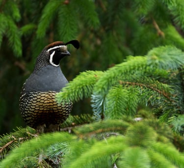
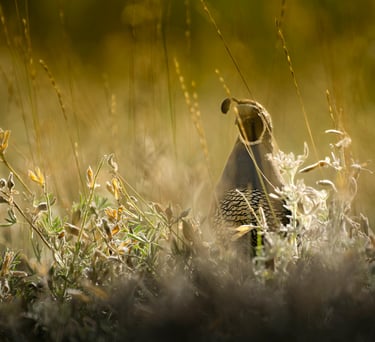
Flyest Farm can Map your property so you can plan and design all of your shooting lanes. We can spray all of the nuisance trees and vegetation that create unwanted obstacles during your hunt. And we can seed food plots for both deer and fowl, so your hunt will be the most memorable.
Thermal Drone Deer Recovery
Florida, Georgia, and Alabama all allow Drones to be used to recovery hunted and downed Deer. With us in Early County, there isn't too much ground we cannot cover.
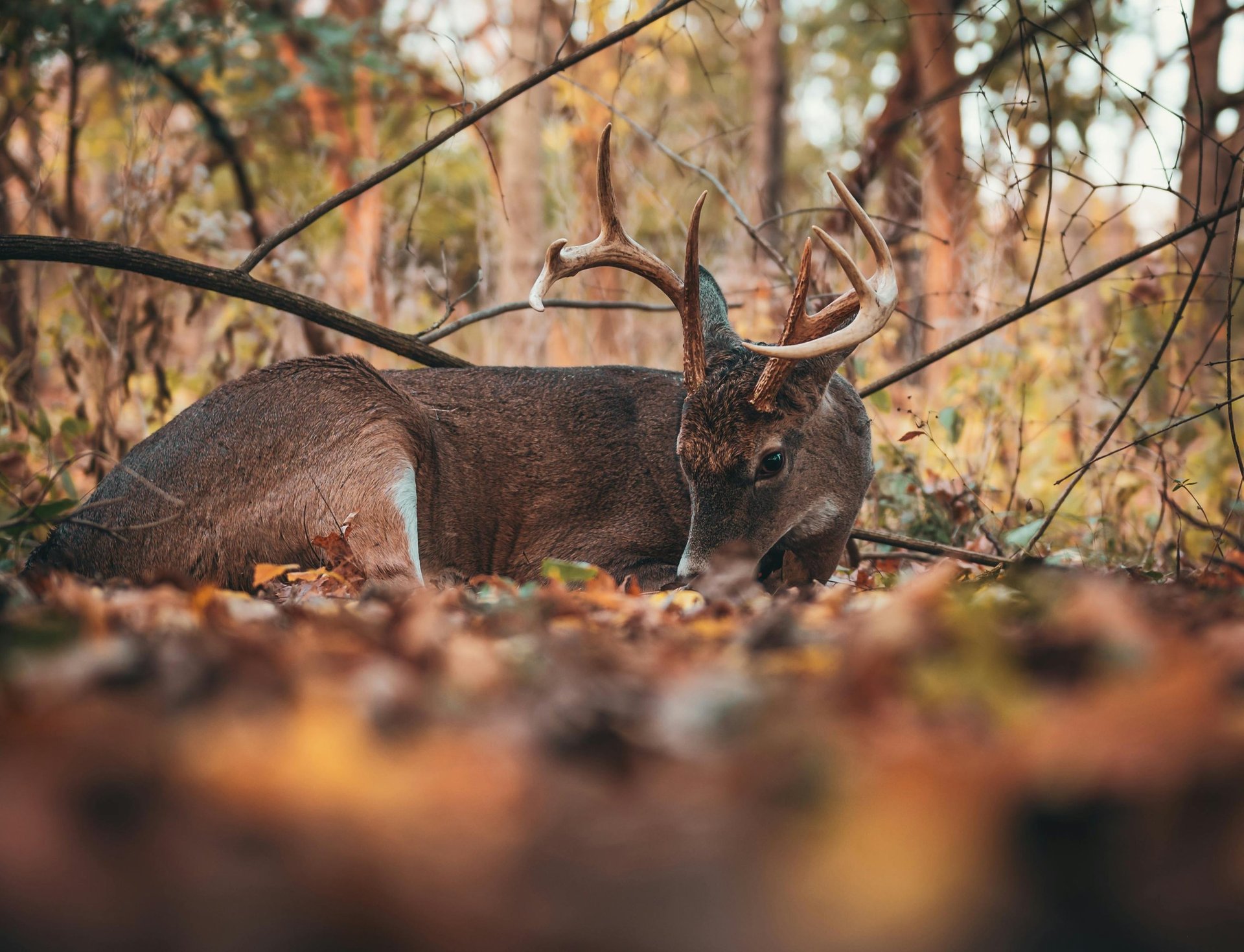
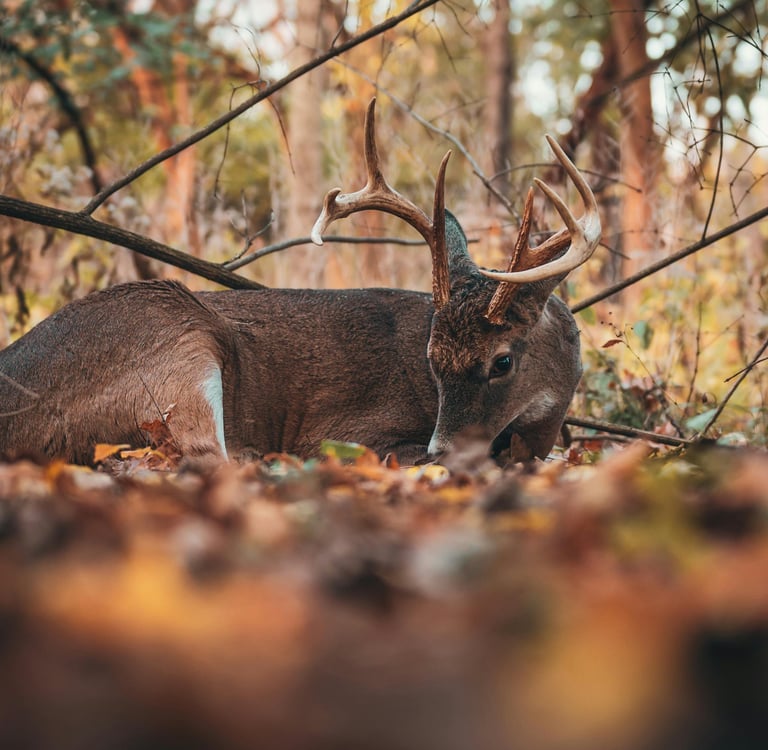
Because hunting is not allowed at night, if you know you downed a deer, and you cannot find it, don't leave it to suffer or at the opportunistic hands of a predator or another hunter, give Flyest Farm a call. We use the Autel Evo Max 4t, v.2 thermal Drone for all of our thermal Drone work.
Thermal Drone Deer Survey
Hunter's go all in for their sport. However, prior to setting up the deer stands and food plots, wouldn't it be great to know what the deer population actually is? Now we can!
With a Flyest Farm Thermal Drone Deer Survey, we will:
Create an Orthomosaic Map of your entire leased or owned hunting ground (cannot map state or federal parks),
Conduct a Deer population count (census) and identify numbers by: Buck, Doe, Fawn. (If for hogs, it's only to identify where they may congregate.)
If requested, create a file type that can be uploaded into your phone or tablet with an updated Google Earth app. This file provides an updated and accurate GPS overlay that not only allows the hunter to see the land as it currently is, but allows them to drop pins where their removable deer stands are (or for any use). This overlay is not only an incredible safety feature, but almost negates the need for paid services like "on X Hunt," which costs upwards of $100/year.
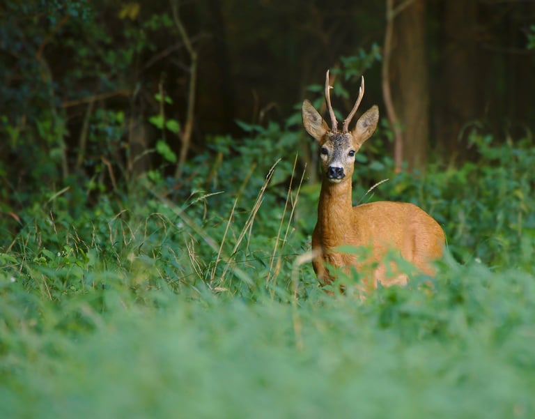
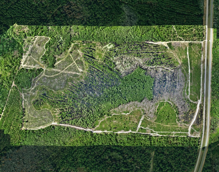
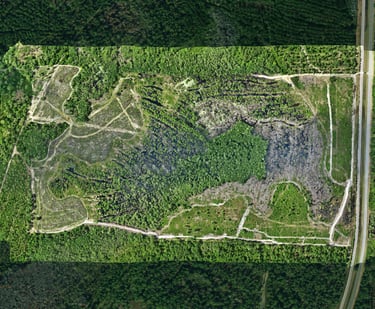
The information in a Thermal Drone Deer Survey varies. If you are in another state and want us to perform a population census, ratio, or various other survey services, give us a call or email. Some surveys may take multiple days depending upon the weather, distance, or size of the area to be surveyed. Hunting season is between 45 and 100+ days away. Be prepared and make your 2026-27 hunting season your most successful to date.

Thermal Drone Deer Surveys are an excellent tool for land wildlife management. However, not all states allow drones to be used for this purpose. If you are considering Flyest Farm to fly or drive out to conduct a survey for your property, give us a call and we will review your state's laws to see if you are permitted to do so.
The Technology is evolving in this area. No longer does it make sense to just climb into a deer stand and wait for hours hoping a deer wanders by. Prepare yourself with all the valuable information to make your hunt productive and successful.
FAQs
What services do you offer?
We provide drone photo video services tailored to your specific needs.
Where are you located?
Are you licensed?
How far do you travel for photo/video services?
How can I schedule service?
Yes. Our drone pilot is both a Part 107 Drone Pilot and a licensed Private Pilot. We follow all FAA regulations regarding location, airspace, and restrictions when flying and shooting for our clients.
You can call, text, or email us at anytime. (Please don't call after 6pm EST unless it's an emergency. (Or use the little box down at the bottom)
We are located in Blakely, GA (39823), which is in the far Southwest corner of Georgia.
We have a Piper PA-24-260B (Comanche) airplane. There are not too many places we cannot go. Call us and we will talk about how to make it happen.
Photo | Video Services
Embrace the Technology

Who We Serve
Services
Contact
fly@flyestfarm.com
Main: 229.764.0606
© 2026 by Flyest Farm, LLC., All rights reserved.
Mobile 405.921.6935
*Flyest Farm, LLC operates under FAA Part 137 - Exemption 44807; all UAS Pilots are licensed under FAA Part 107; and hold all applicable state commercial pesticide applicators licenses.


Cities, Businesses & Property