
AG Drone Services
Ponds, Lakes, and Waterways
There is nothing that compares to using a Drone to treat your Pond, Lake(s), or shared Waterway.
* Seen in this image is large pockets of algae, blue-green algae, Water Hyacinth, various levels of decayed material (muk), and acres of area where fish cannot survive - only mosquitos!
Combining aerial systems allows for a faster, cleaner, better waterways
Orthomosaic Mapping
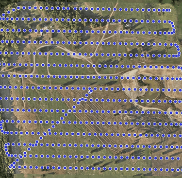
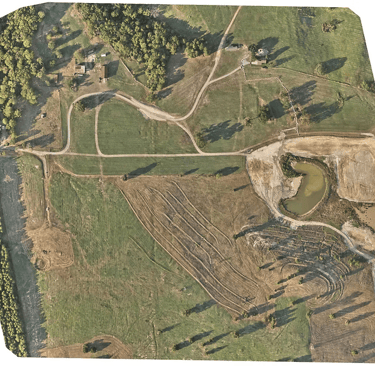
An Orthomosaic Map is a map created by a drone (or aerial vehicle) that stitches together hundreds of individual photographs using GPS coordinates to create an up-to-date image of a property or farm. This stitching, or "photogammetry," is a must for every property owner and ABSOLUTELY a necessity for every farmer.
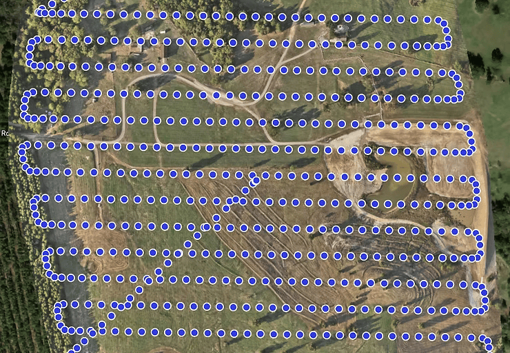
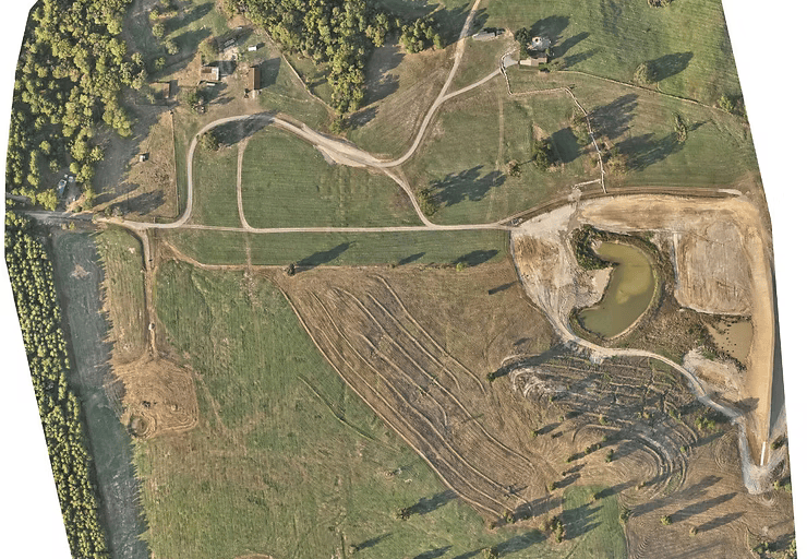
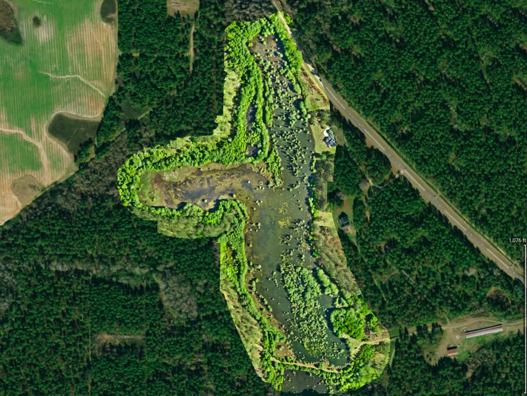
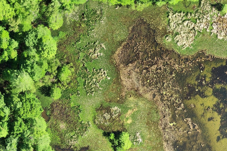
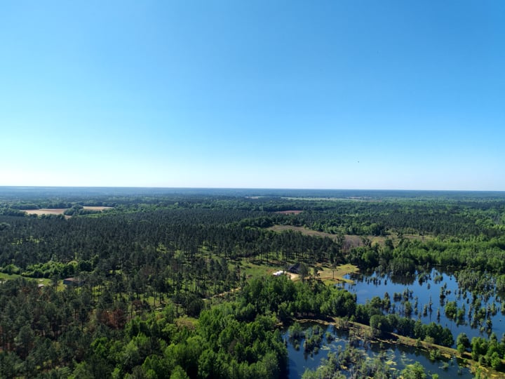
Using an Ag Drone to spray large, open waters (large ponds, lakeside docks, and anywhere aquatic weeds and algae grows is the best and most efficient way to maintain a healthy aquatic habitat on your property or public waterway.
FAQs
How much do you charge?
Our 2026 pricing for Ag Drone Spraying and Spreading depends on the size of the field, the amount of product to be laid down, and in some cases, the distance to travel. We have a minimum field size of 30 acres for spraying and spreading dry formulas/seeds/granules.
Most Fields under 60 acres and below $12/acre or flat fee
Most Fields 61-300 acres $11/acre
Most Fields 301+ acres $10/acre
"Most" means TOTAL area sprayed, NOT per individual field. Field dimensions and/or close waterways, etc also factor into the pricing
Fees are based upon a standard 2 gals/acre spray. Add $1 per extra gallon per acre over 2 gals/acre for liquid chemicals
Fees are based upon a standard 100lbs/acre for dry formulas/seeds/granules.
Our 2026 pricing for Orthomosaic Mapping (as a service alone, not tied to spraying) is priced depending upon the complexity of the mapping job. Most traditional farm maps are done in Class G airspace. If no special permissions are needed from the FAA, then normal pricing can be anywhere between $10/acre to $150/acre (solar panel field or construction site). Larger fields require much more time and stitching together.
Our 2026 pricing for Insurance claim inspections and/or Ag equipment inspections are by the hour. If an Orthomosaic map is needed for an Ag Insurance Claim, then we will ONLY map the reported damaged field. These are charged by the Acre of field inspected.
If we have to fly to your location, we will work out fuel costs. (flying is often cheaper and faster)
How do you prepare to spray?
Do you print the Orthomosaic Maps for wall papering?
Is there a fuel Surcharge?
Yes and No. We do not add a fuel surcharge for spraying or mapping missions on fields or properties within Early County, GA or counties that border Early County. Outside of that, until all of this international craziness is behind us, we do.
Prior to spraying, we will come to your property or field(s) and map out the area to be sprayed (if close enough to Early County). We do this so we can quickly set up the next morning or day and get going.
We do not. However, we can find you a non-affiliated third party producer that can print whatever size physical map you need. The images are high quality with centimeter's small pixels, so it will look great on great paper. We do provide you with the file and some editing (background) for your records or computer wallpaper screen.
Fees | Costs
Who We Serve
Services
Contact
fly@flyestfarm.com
Main: 229.764.0606
© 2026 by Flyest Farm, LLC., All rights reserved.
Mobile 405.921.6935
*Flyest Farm, LLC operates under FAA Part 137 - Exemption 44807; all UAS Pilots are licensed under FAA Part 107; and hold all applicable state commercial pesticide applicators licenses.


Cities, Businesses & Property